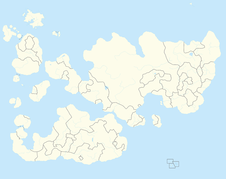
File:Internatia location map.png
Jump to navigation
Jump to search

Size of this preview: 758 × 600 pixels. Other resolutions: 2,560 × 2,026 pixels | 11,664 × 9,232 pixels.
Original file (11,664 × 9,232 pixels, file size: 2.19 MB, MIME type: image/png)
| Description |
Location map of Internatia |
|---|---|
| Source |
Own work |
| Date | |
| Author |
santos |
| Permission (Reusing this file) |
See below. |
| Other versions |
|
File history
Click on a date/time to view the file as it appeared at that time.
| Date/Time | Thumbnail | Dimensions | User | Comment | |
|---|---|---|---|---|---|
| current | 16:36, 19 June 2013 |  | 11,664 × 9,232 (2.19 MB) | Santos (talk | contribs) | Reverted to version as of 19:29, 18 June 2013 |
| 13:53, 19 June 2013 |  | 7,500 × 5,935 (4.59 MB) | Santos (talk | contribs) | ||
| 13:49, 19 June 2013 |  | 8,500 × 6,727 (5.12 MB) | Santos (talk | contribs) | ||
| 22:47, 18 June 2013 |  | 9,999 × 7,914 (4.36 MB) | Santos (talk | contribs) | ||
| 21:31, 18 June 2013 |  | 11,664 × 9,232 (2.19 MB) | Santos (talk | contribs) | ||
| 19:50, 18 June 2013 |  | 11,664 × 9,232 (2.19 MB) | Santos (talk | contribs) | ||
| 19:29, 18 June 2013 |  | 11,664 × 9,232 (2.19 MB) | Santos (talk | contribs) |
You cannot overwrite this file.
File usage
The following 6 pages use this file:
