
File:Almarania location map.png: Difference between revisions
No edit summary |
No edit summary |
||
| Line 7: | Line 7: | ||
|other_versions = | |other_versions = | ||
<gallery> | <gallery> | ||
File:Almarania location | File:Almarania location topo.png|Topographic map. | ||
</gallery> | </gallery> | ||
}} | }} | ||
[[Category:Location maps]] | [[Category:Location maps]] | ||
Latest revision as of 18:14, 15 June 2015
Summary
| Description |
Location map of the Almarania. |
|---|---|
| Source |
Own work |
| Date | |
| Author |
santos |
| Permission (Reusing this file) |
See below. |
| Other versions |
|

File history
Click on a date/time to view the file as it appeared at that time.
| Date/Time | Thumbnail | Dimensions | User | Comment | |
|---|---|---|---|---|---|
| current | 18:10, 15 June 2015 |  | 4,000 × 4,478 (1.75 MB) | Santos (talk | contribs) | |
| 10:52, 7 January 2015 | 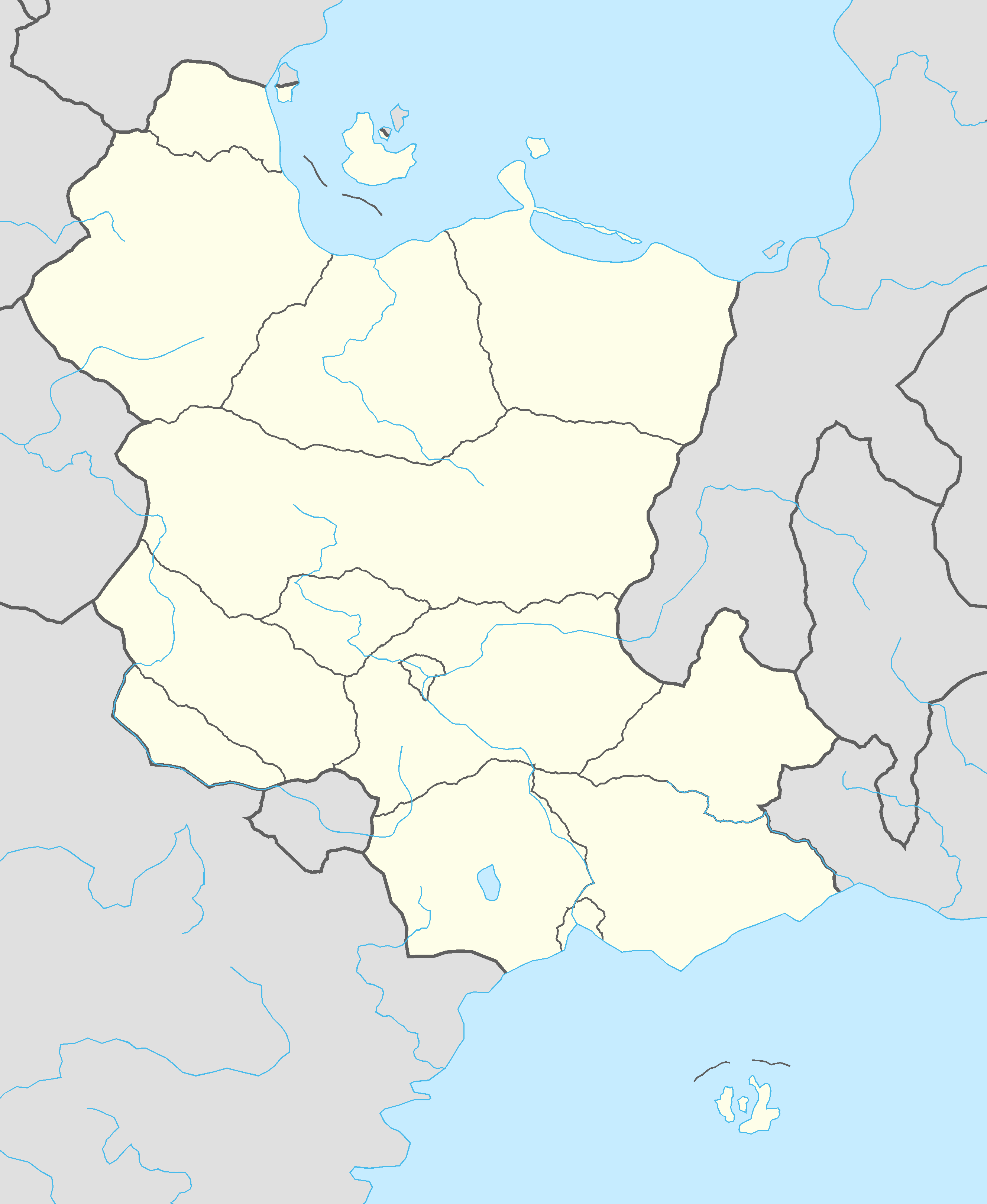 | 2,656 × 3,240 (152 KB) | Santos (talk | contribs) |
You cannot overwrite this file.
File usage
The following page uses this file: