
File:Gandhara location map.png: Difference between revisions
Santos uploaded a new version of File:Gandhara location map.png |
No edit summary |
||
| (One intermediate revision by the same user not shown) | |||
| Line 8: | Line 8: | ||
<gallery> | <gallery> | ||
File:Gandhara location map topo.png|Topographic map. | File:Gandhara location map topo.png|Topographic map. | ||
File:Gandhara location map.svg|Vector sersion. | |||
</gallery> | </gallery> | ||
}} | }} | ||
| Line 13: | Line 14: | ||
[[Category:Location maps]] | [[Category:Location maps]] | ||
[[Category:Location maps of Gandhara]] | [[Category:Location maps of Gandhara]] | ||
[[Category:Maps]] | |||
[[Category:Maps of Gandhara]] | |||
Latest revision as of 21:16, 6 March 2018
Summary
| Description |
Location map of the Gandhara. |
|---|---|
| Source |
Own work |
| Date | |
| Author |
santos |
| Permission (Reusing this file) |
See below. |
| Other versions |
|


File history
Click on a date/time to view the file as it appeared at that time.
| Date/Time | Thumbnail | Dimensions | User | Comment | |
|---|---|---|---|---|---|
| current | 20:13, 14 September 2015 | 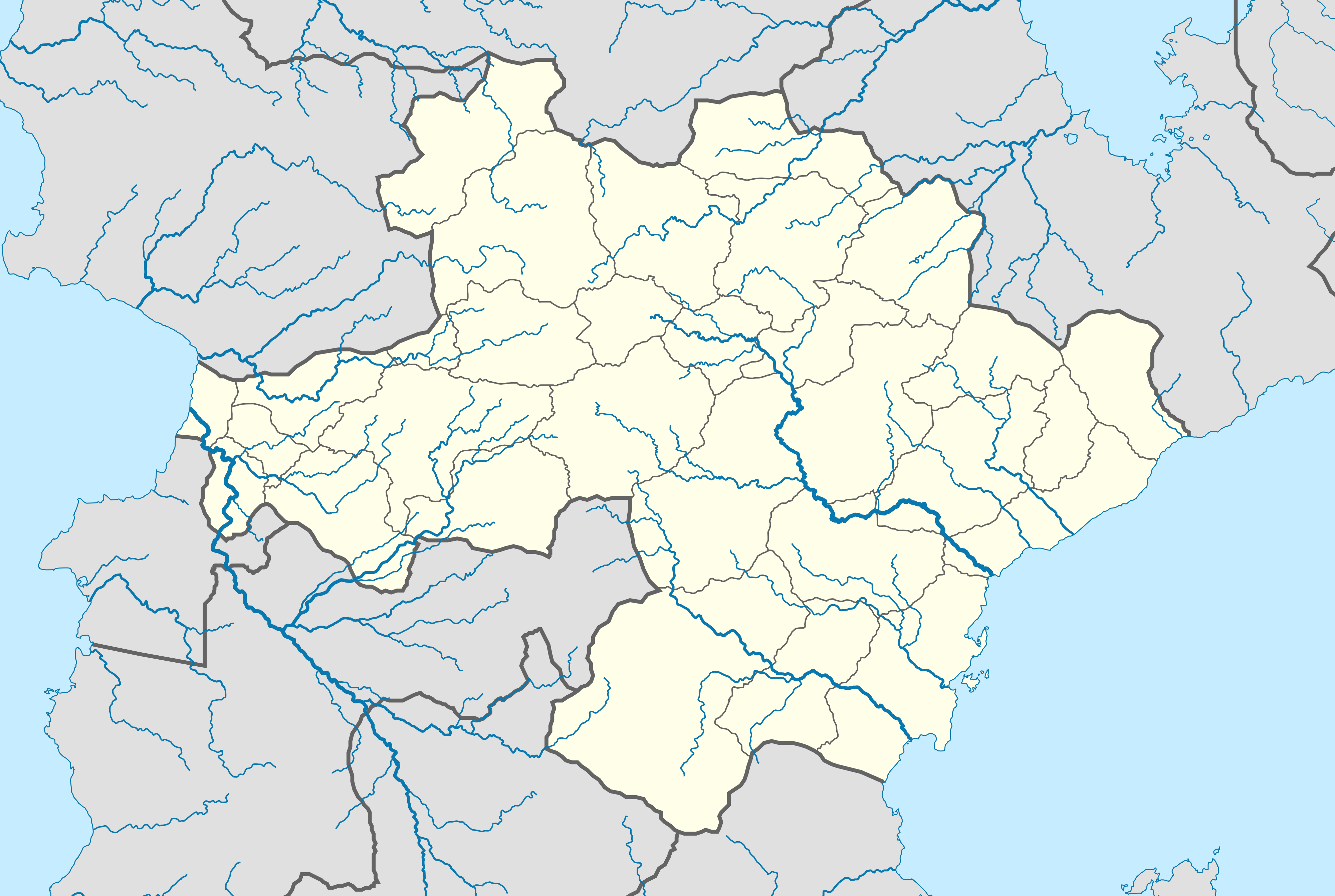 | 3,999 × 2,684 (1.49 MB) | Santos (talk | contribs) | |
| 14:51, 12 June 2015 |  | 3,999 × 2,684 (1.5 MB) | Santos (talk | contribs) | ||
| 20:32, 6 May 2015 | 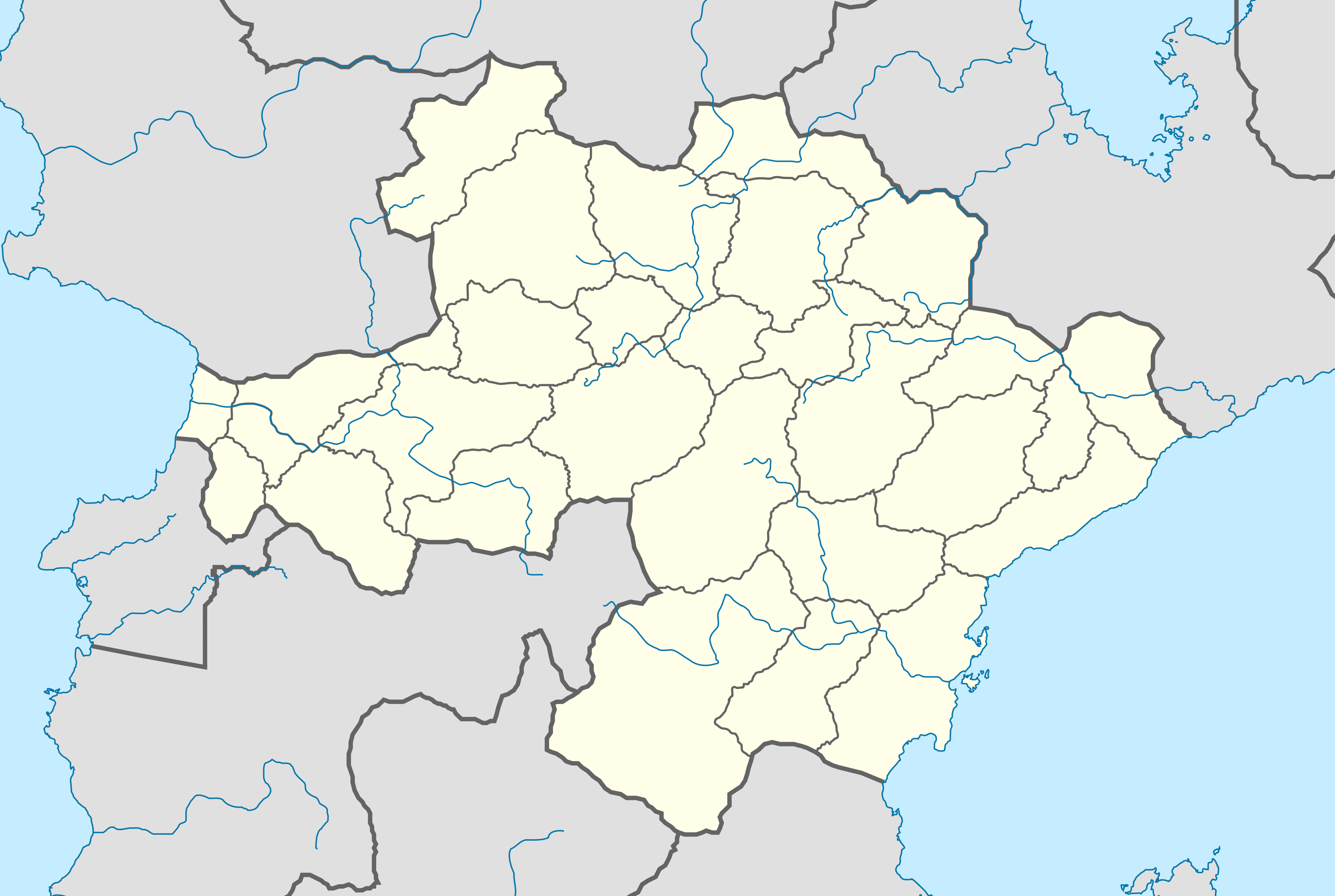 | 3,999 × 2,684 (933 KB) | Santos (talk | contribs) | ||
| 20:25, 6 May 2015 |  | 3,999 × 2,684 (933 KB) | Browneyed (talk | contribs) | ||
| 13:53, 27 February 2015 | 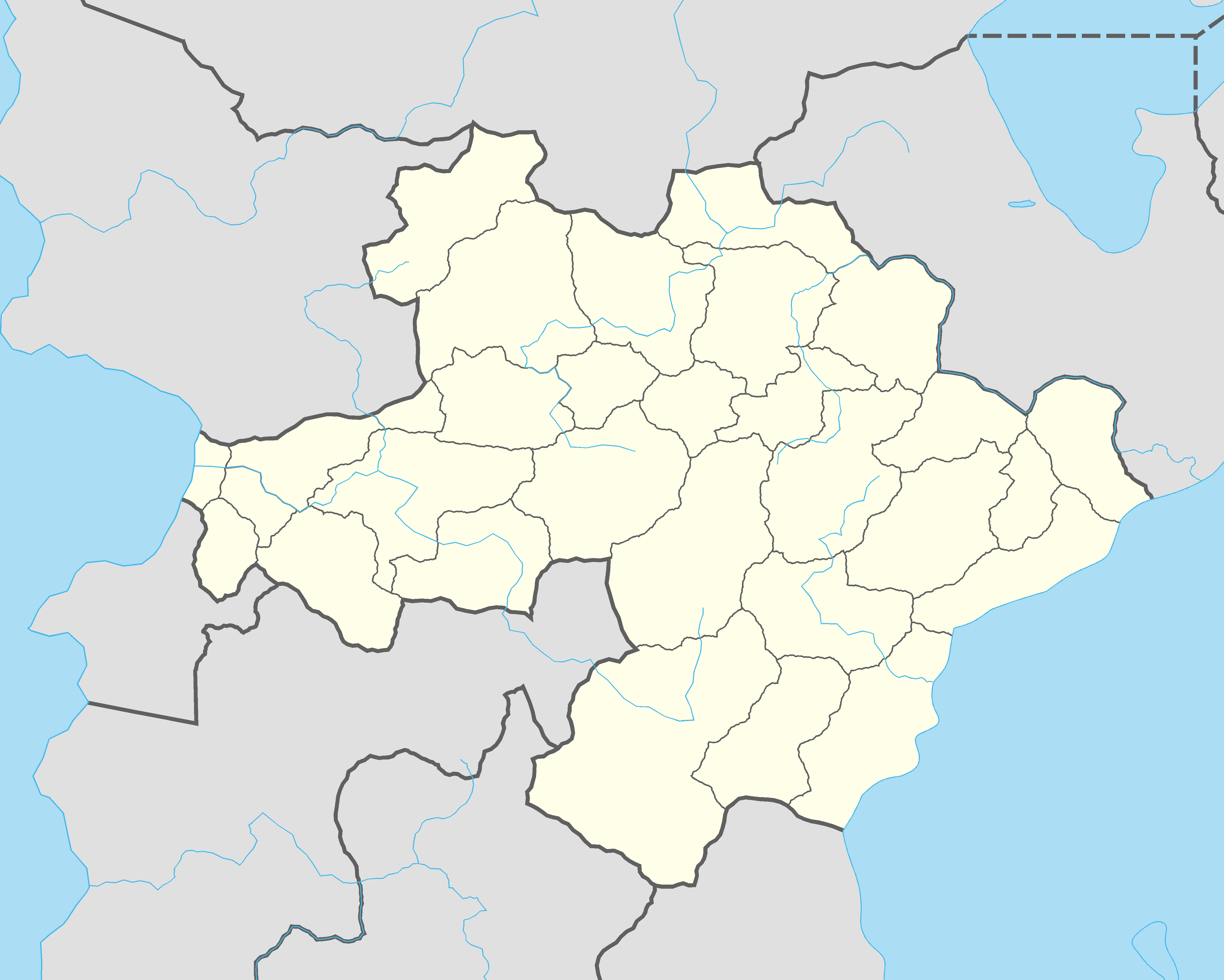 | 4,744 × 3,800 (578 KB) | Browneyed (talk | contribs) | Reverted to version as of 02:51, 16 October 2014 | |
| 12:32, 21 February 2015 |  | 4,744 × 3,800 (241 KB) | Browneyed (talk | contribs) | ||
| 02:51, 16 October 2014 |  | 4,744 × 3,800 (578 KB) | Santos (talk | contribs) |
You cannot overwrite this file.