
File:Tikata location map.png
Size of this preview: 797 × 600 pixels. Other resolutions: 2,560 × 1,927 pixels | 4,250 × 3,199 pixels.
Original file (4,250 × 3,199 pixels, file size: 1.46 MB, MIME type: image/png)
Summary
| Description |
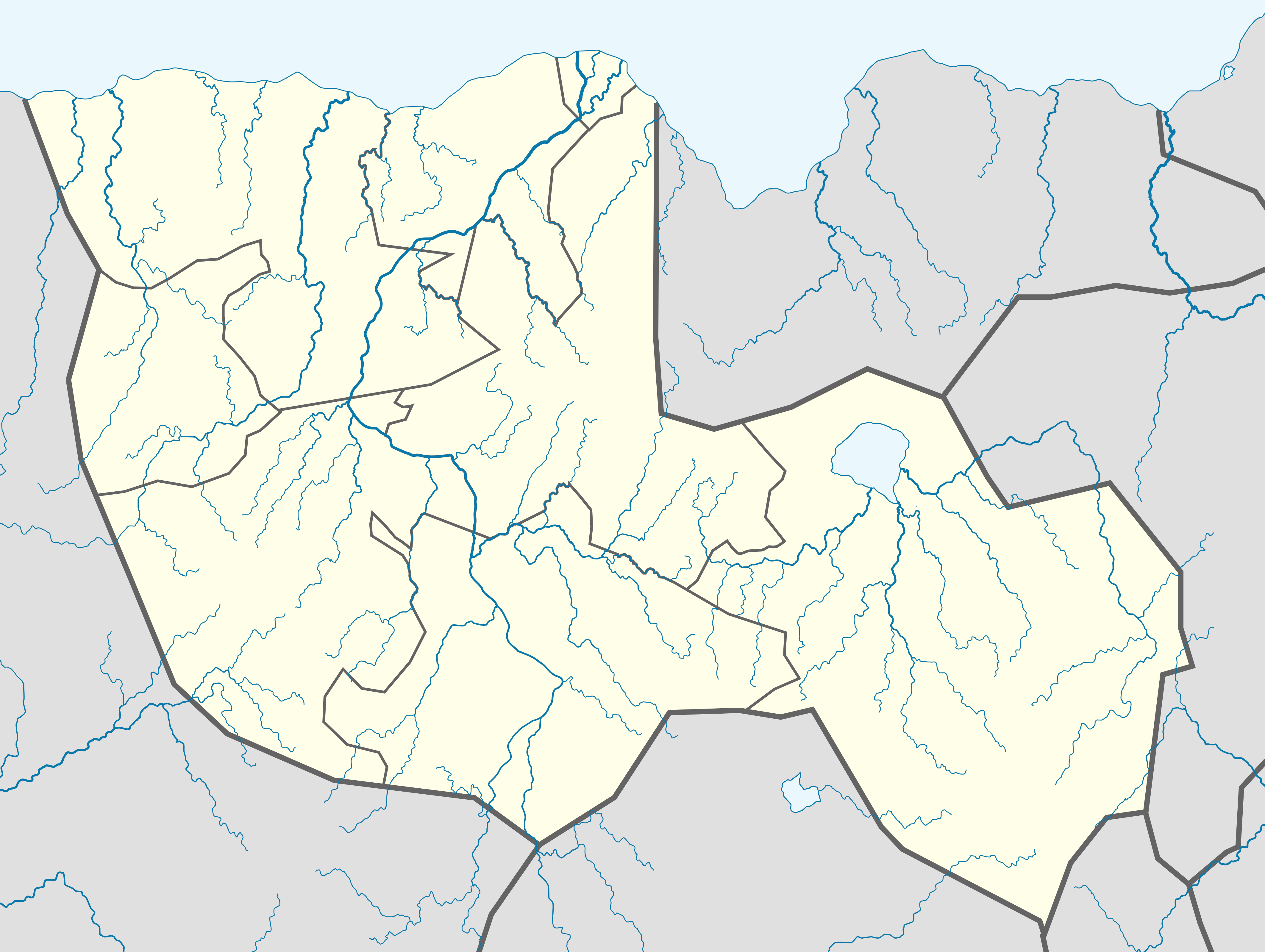
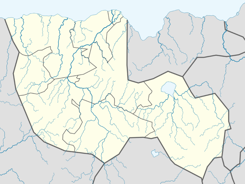
Location map of the Tikata. |
|---|---|
| Source |
Own work |
| Date | |
| Author |
santos |
| Permission (Reusing this file) |
See below. |
| Other versions |
|


File history
Click on a date/time to view the file as it appeared at that time.
| Date/Time | Thumbnail | Dimensions | User | Comment | |
|---|---|---|---|---|---|
| 22:33, 15 June 2013 |  | 7,432 × 5,592 (1.02 MB) | Santos (talk | contribs) | ||
| 21:37, 15 June 2013 |  | 7,432 × 5,592 (1.02 MB) | Santos (talk | contribs) | ||
| 21:11, 15 June 2013 | 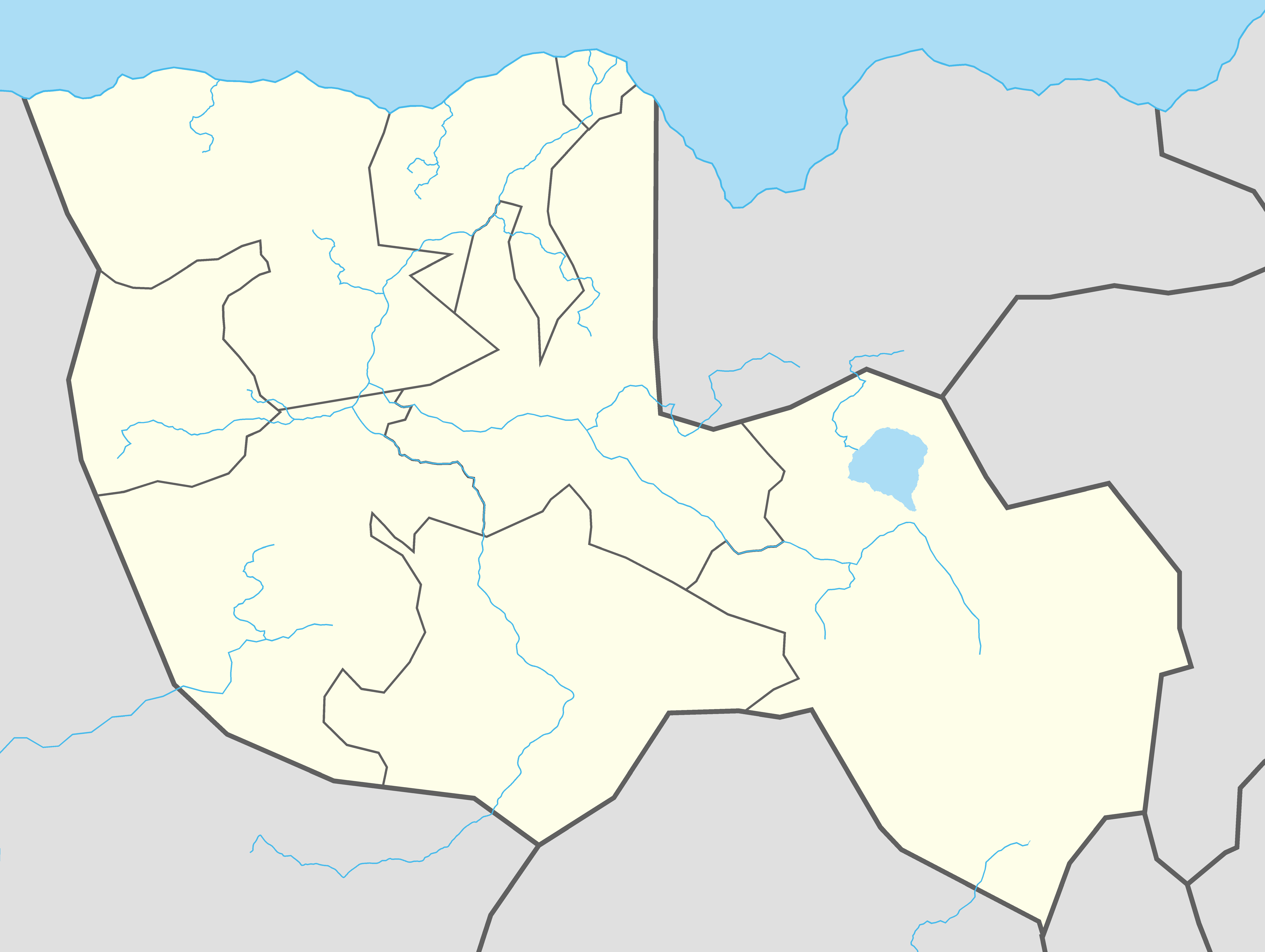 | 7,432 × 5,592 (1.02 MB) | Santos (talk | contribs) | ||
| 20:49, 15 June 2013 |  | 7,432 × 5,592 (1.02 MB) | Santos (talk | contribs) | ||
| 20:47, 15 June 2013 |  | 7,432 × 5,592 (1.02 MB) | Santos (talk | contribs) | ||
| 20:41, 15 June 2013 |  | 7,432 × 5,592 (1.02 MB) | Santos (talk | contribs) | ||
| 16:55, 15 April 2013 |  | 3,716 × 2,796 (778 KB) | Santos (talk | contribs) | ||
| 19:31, 16 January 2013 | 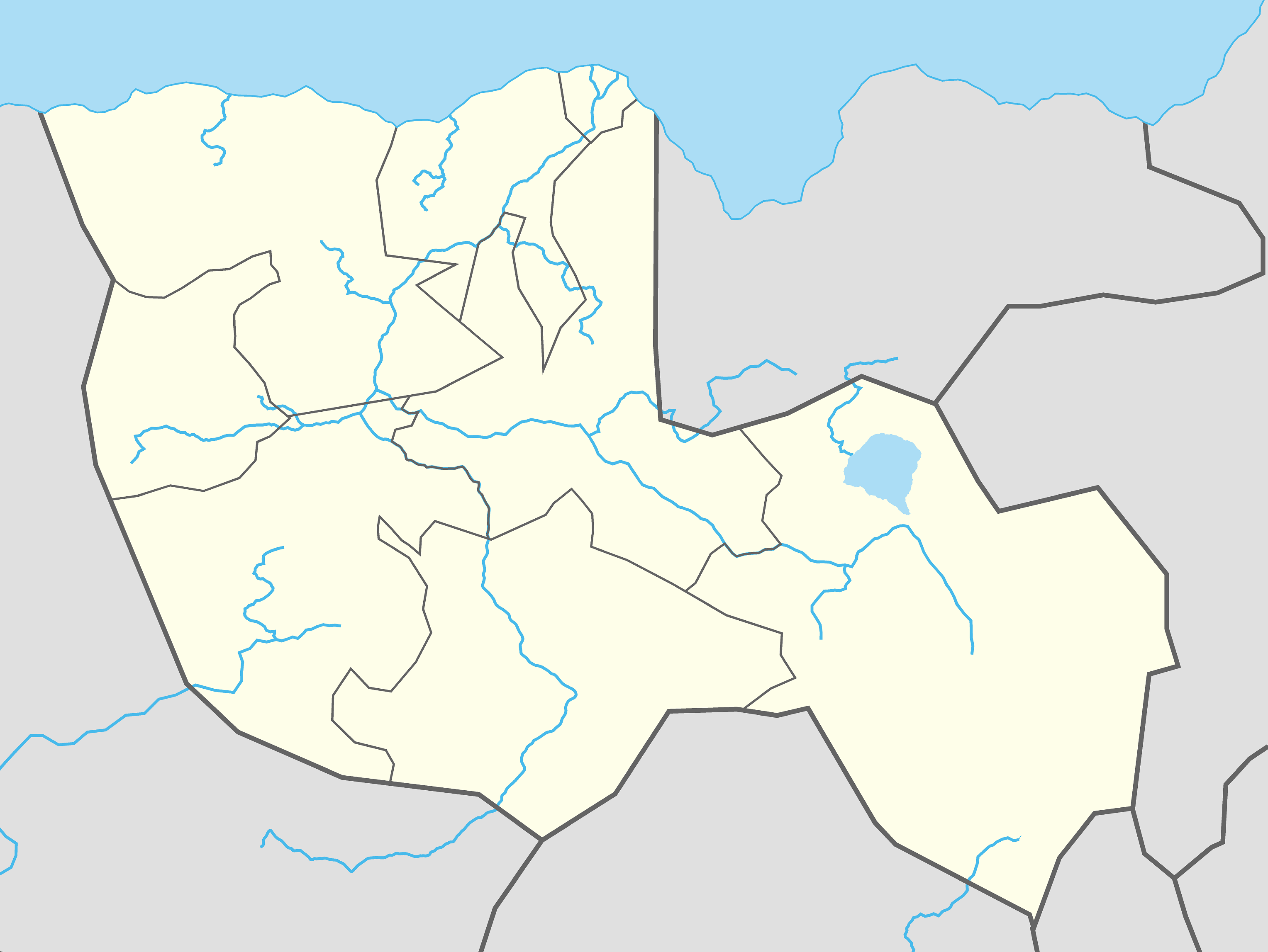 | 3,056 × 2,296 (798 KB) | Santos (talk | contribs) | ||
| 21:14, 20 December 2012 |  | 1,224 × 973 (58 KB) | Santos (talk | contribs) | ||
| 02:30, 17 December 2012 | 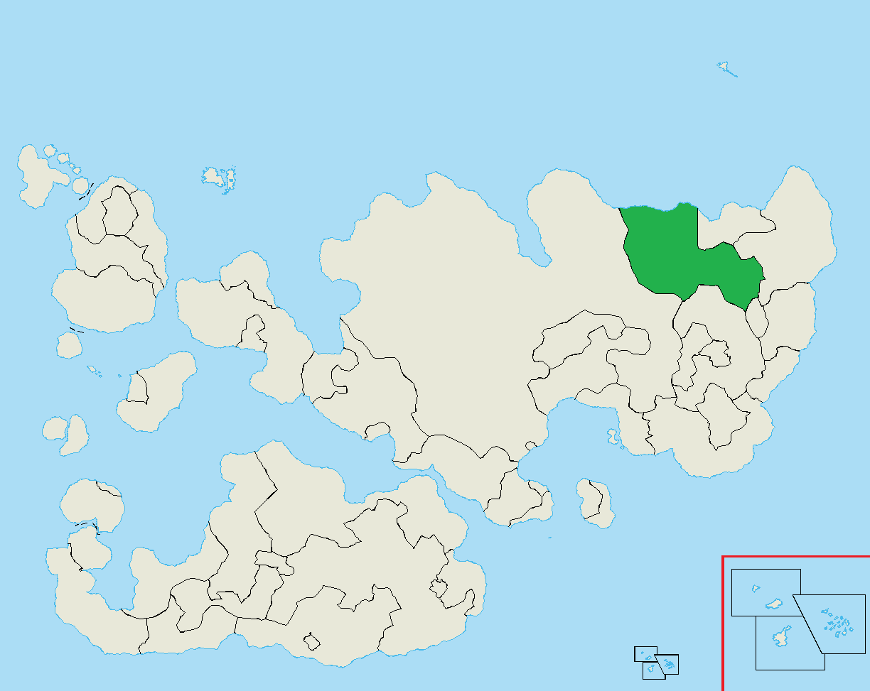 | 1,224 × 973 (58 KB) | Santos (talk | contribs) |
You cannot overwrite this file.
File usage
The following 9 pages use this file: