
Uploads by Santos
This special page shows all uploaded files.
| Date | Name | Thumbnail | Size | Description |
|---|---|---|---|---|
| 22:59, 23 February 2018 | Royal CoA of Tikata.svg (file) |  |
1.16 MB | |
| 22:21, 23 February 2018 | Coat of arms of Tikata.svg (file) |  |
53 KB | |
| 22:01, 23 February 2018 | Flag of Tikata.svg (file) |  |
12 KB | |
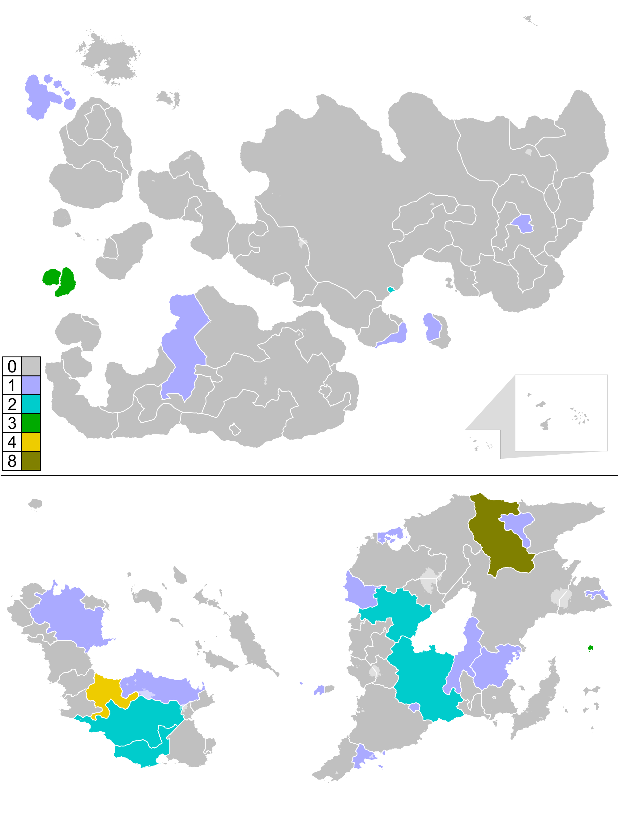
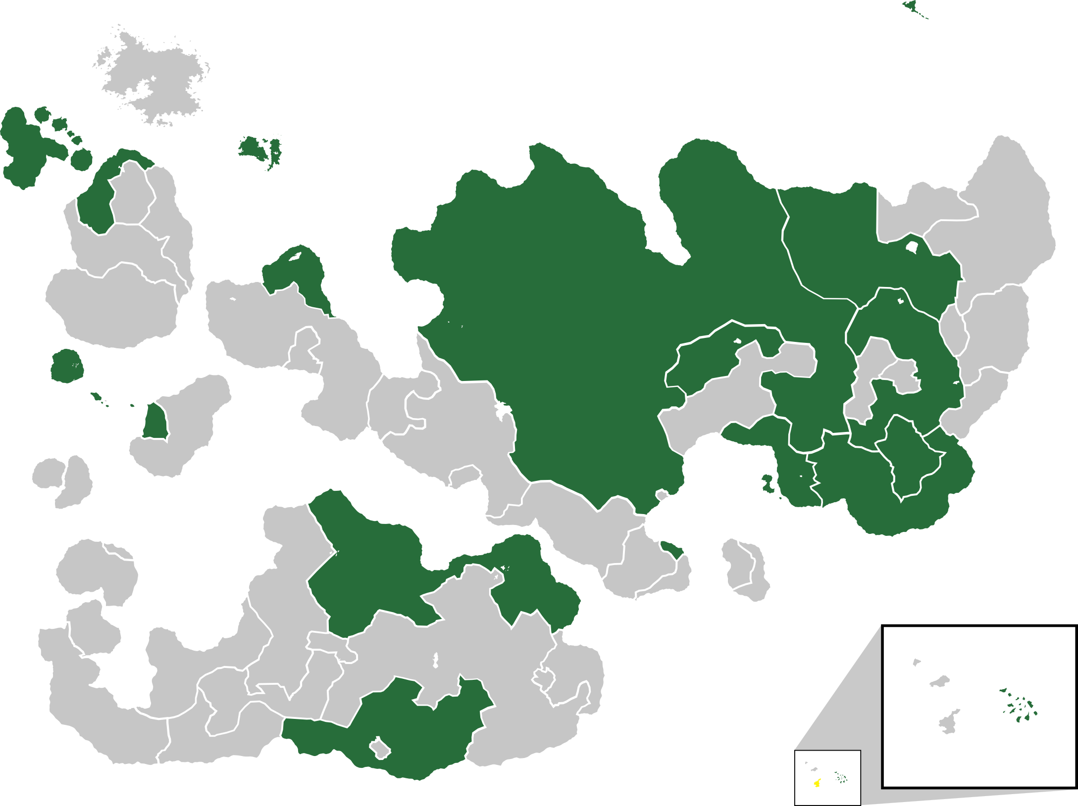
| 23:03, 18 February 2018 | Outernatia winners map.png (file) |  |
536 KB | |
| 21:41, 17 February 2018 | Internatia 68 Map.svg (file) |  |
1.39 MB | |
| 21:35, 3 February 2018 | ISC 68 Semi-Finals.svg (file) |  |
1.39 MB | |
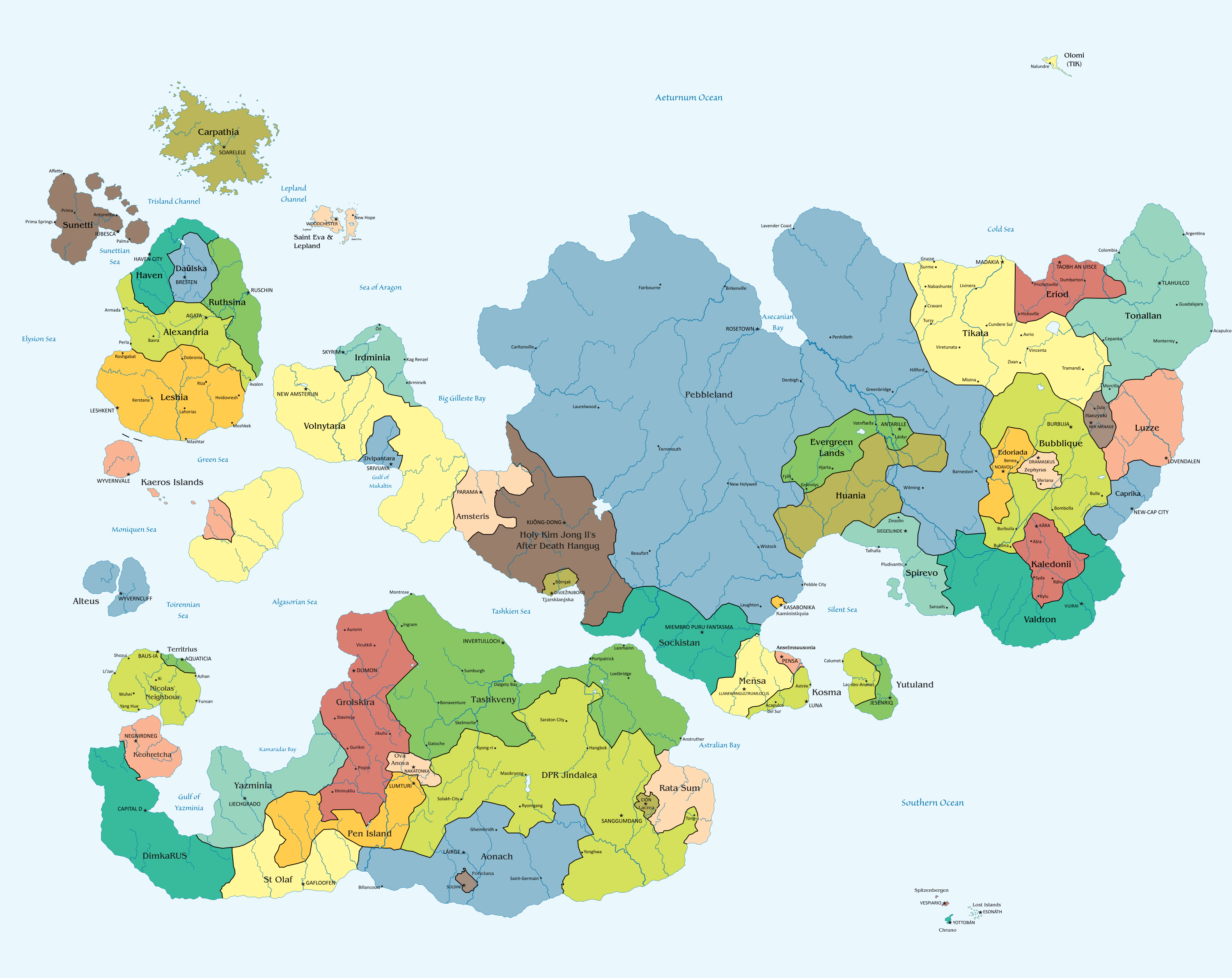
| 19:19, 9 January 2018 | Internatia political.png (file) |  |
1.31 MB | |
| 20:37, 2 January 2018 | ISC 68 logo.png (file) | 54 KB | ||
| 19:02, 26 November 2017 | ISCC35Logo.png (file) |  |
305 KB | |
| 20:40, 23 August 2017 | Spinachia relief map.png (file) |  |
1.16 MB | |
| 20:39, 23 August 2017 | Spinachia location map.svg (file) |  |
497 KB | |
| 23:22, 19 August 2017 | Internatia 15 Map.svg (file) |  |
556 KB | |
| 23:10, 19 August 2017 | Internatia 14 map.svg (file) |  |
556 KB | |
| 18:28, 19 August 2017 | Oalia location map.svg (file) |  |
80 KB | |
| 13:26, 19 August 2017 | Ova Anova location map.svg (file) |  |
73 KB | |
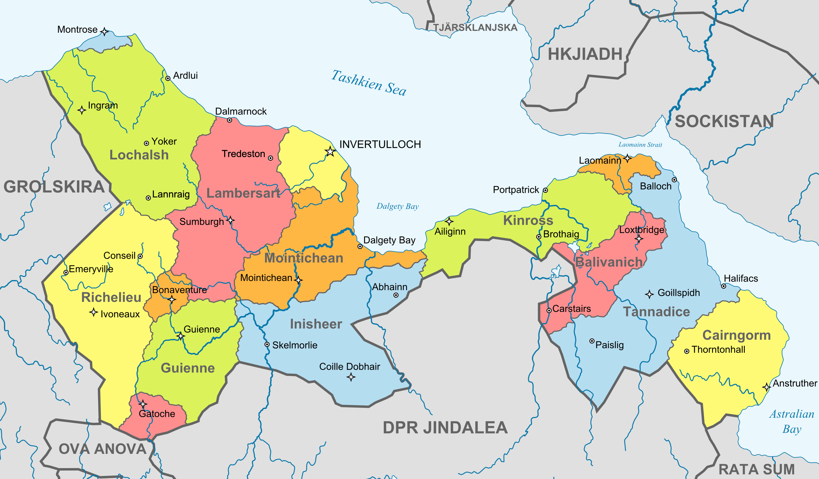
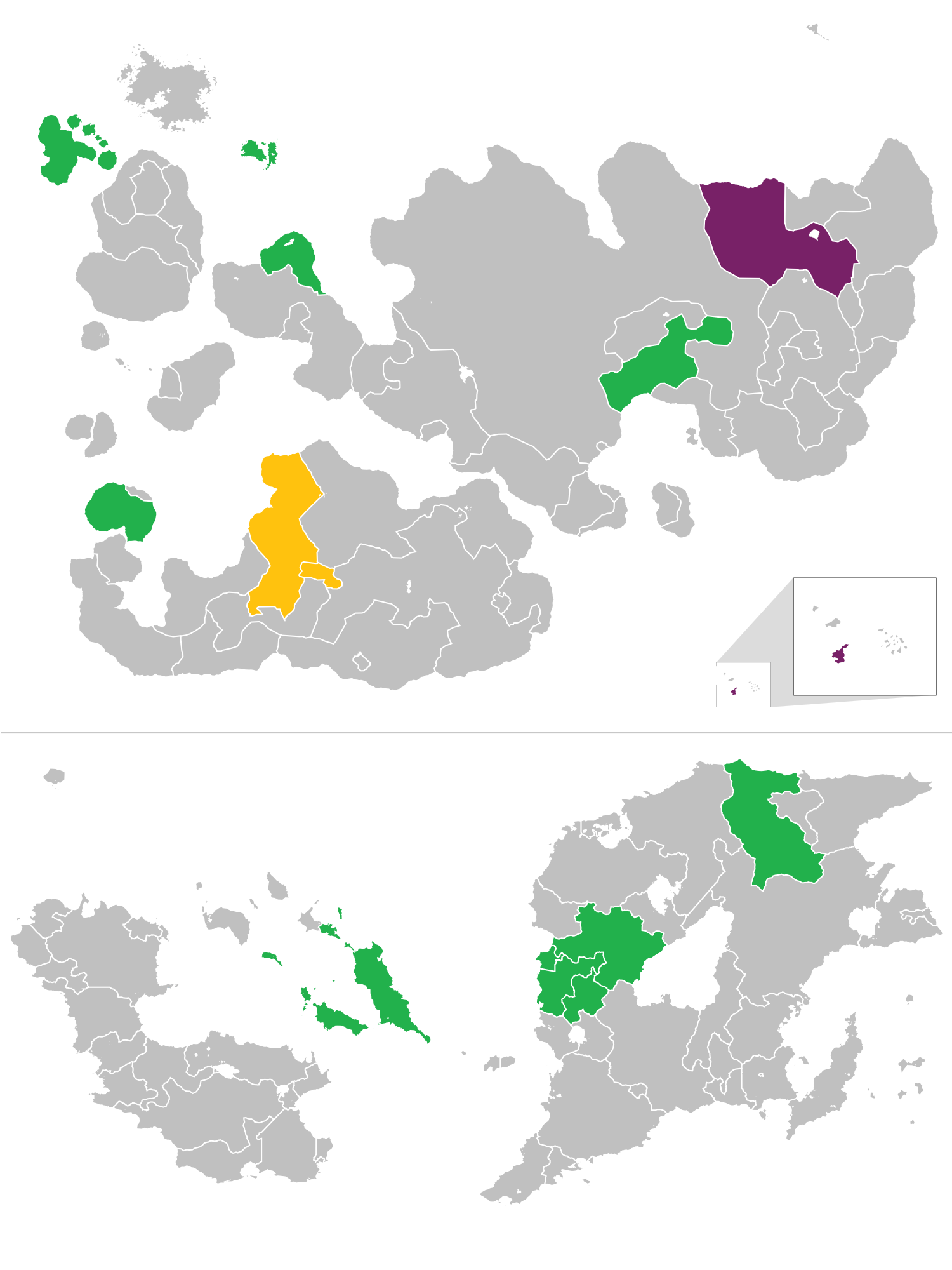
| 18:30, 22 July 2017 | Outernatia political.svg (file) |  |
2.45 MB | |
| 20:59, 17 July 2017 | Tikata admi map.png (file) |  |
1.62 MB | |
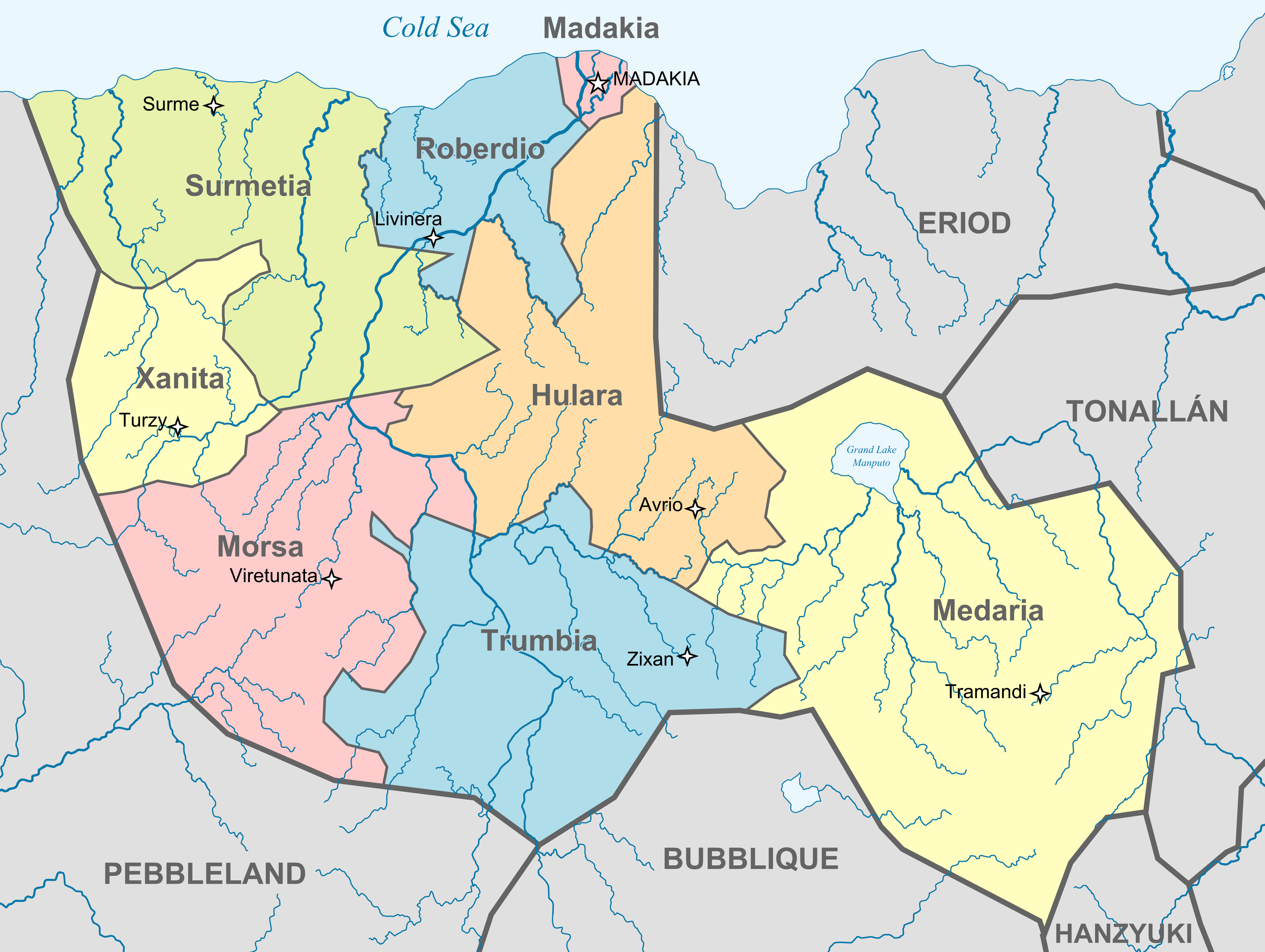
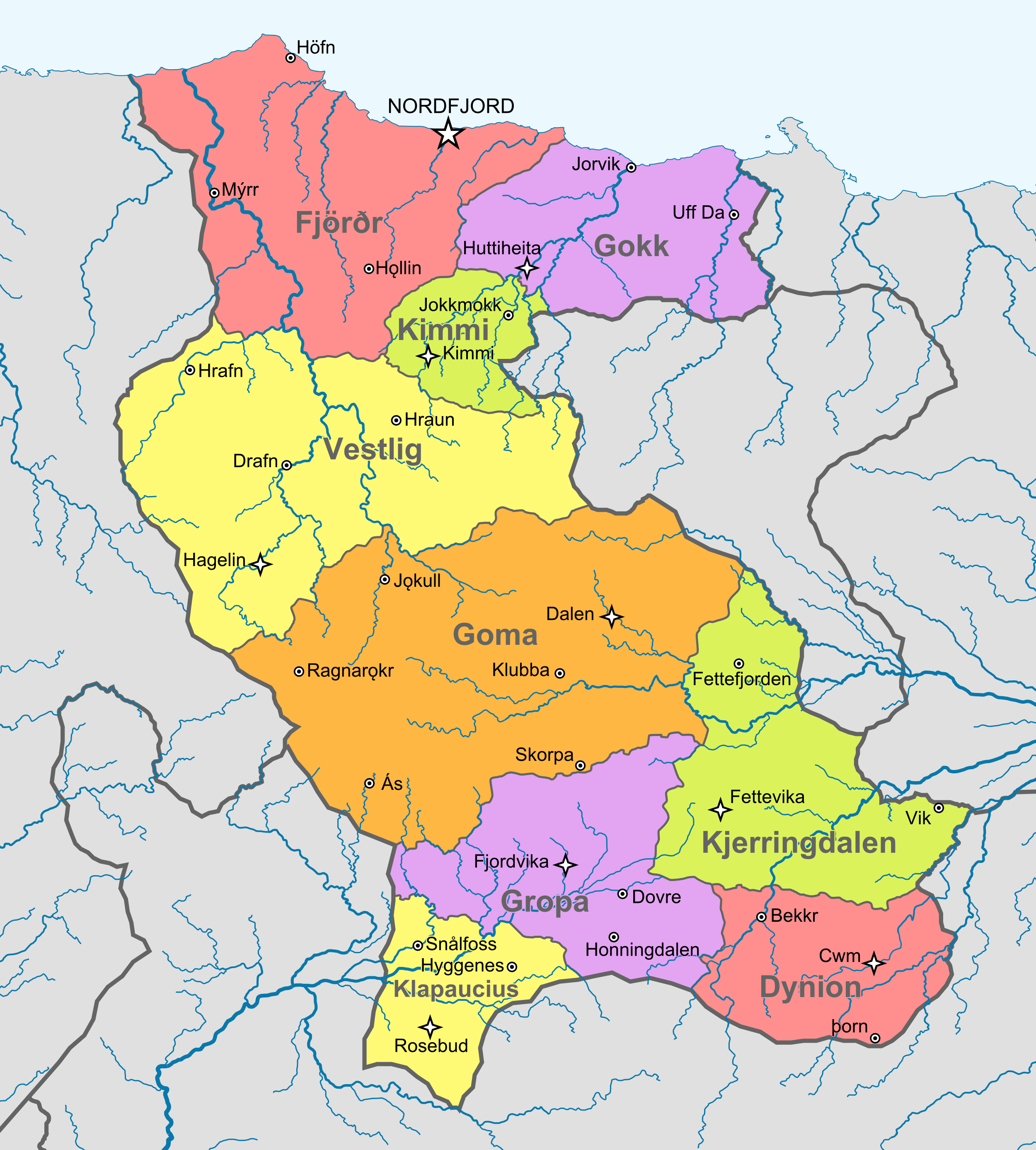
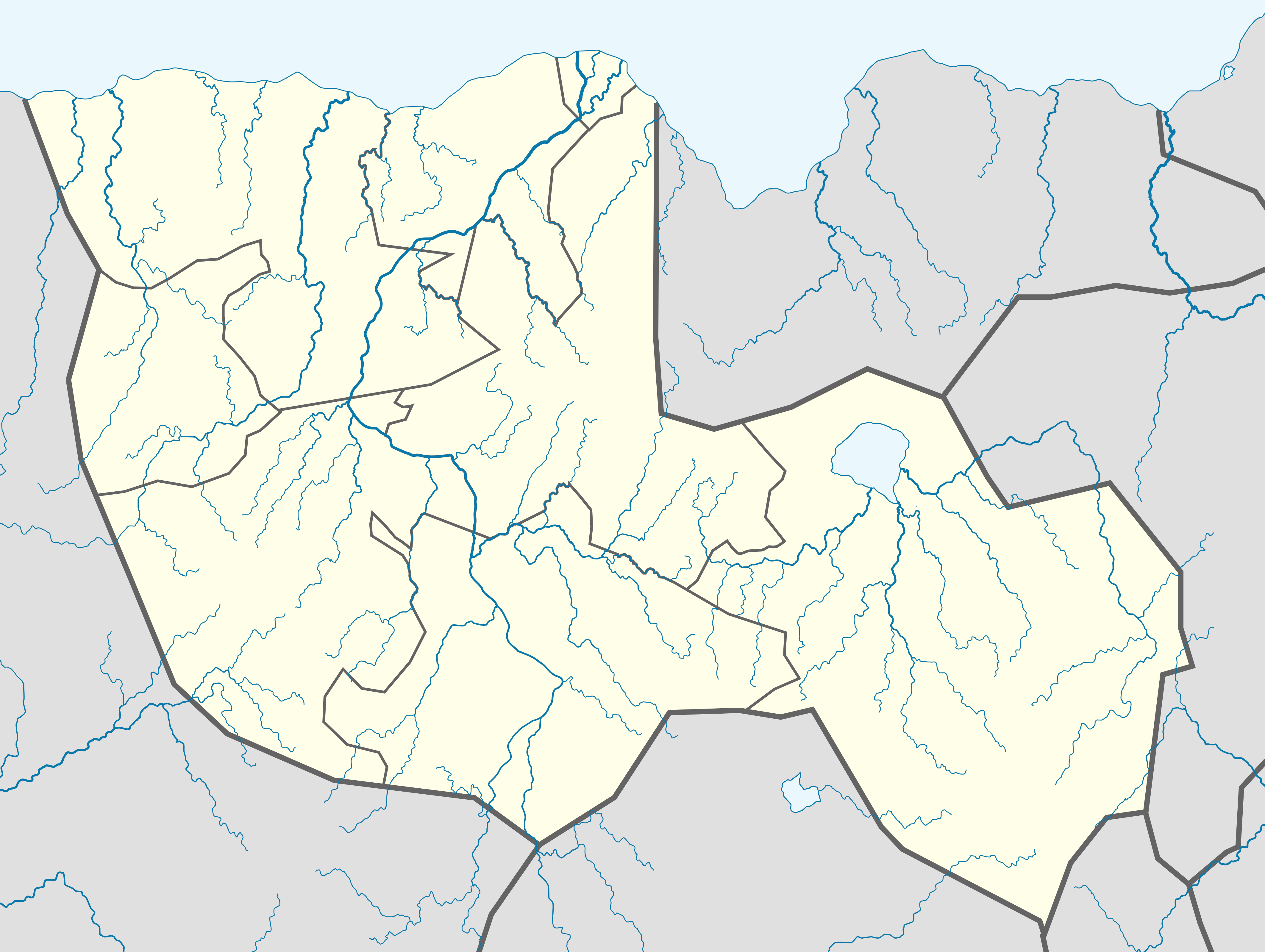
| 20:38, 17 July 2017 | Tikata administrative map.svg (file) |  |
879 KB | |
| 11:57, 15 July 2017 | Tikata highways.svg (file) |  |
535 KB | |
| 11:34, 15 July 2017 | Highways in Tikata.svg (file) |  |
600 KB | |
| 23:24, 7 July 2017 | Olomi map.svg (file) |  |
342 KB | |
| 23:17, 7 July 2017 | Try upload.svg (file) |  |
2.28 MB | |
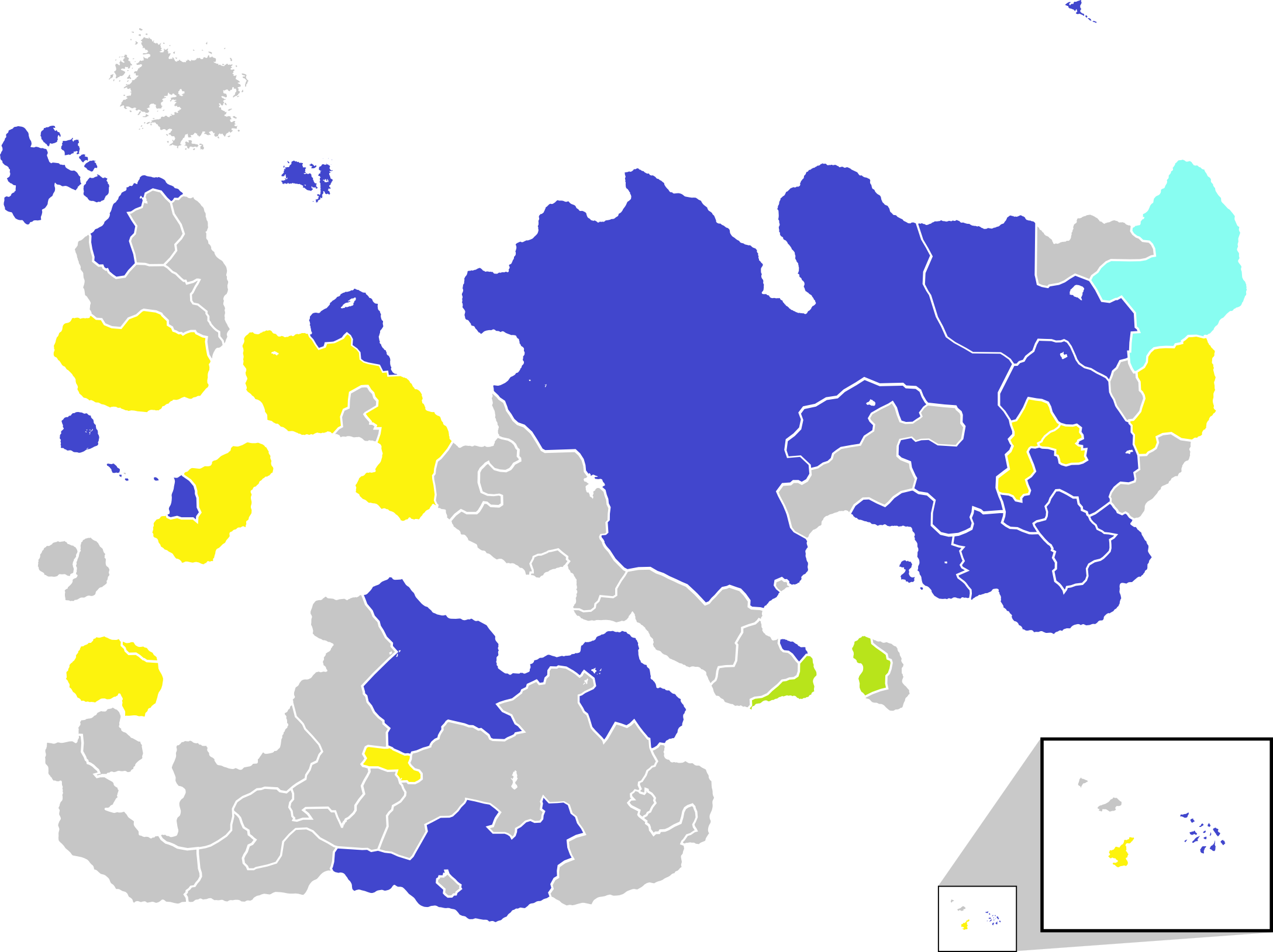
| 20:30, 24 May 2017 | Internatia winners map.png (file) |  |
623 KB | |
| 15:46, 23 May 2017 | ISCC winners map.png (file) |  |
631 KB | |
| 21:37, 15 November 2016 | Grolskira location.png (file) |  |
380 KB | |
| 22:53, 13 November 2016 | Tashkveny location map.png (file) |  |
572 KB | |
| 22:51, 13 November 2016 | Tashkveny administrative map.png (file) |  |
807 KB | |
| 16:40, 5 November 2016 | San Remo location map.png (file) |  |
549 KB | Reverted to version as of 23:23, 18 June 2013 (CET) |
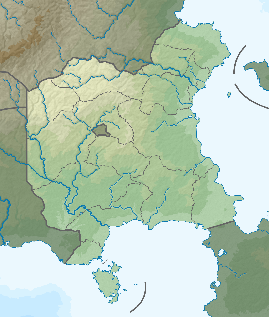
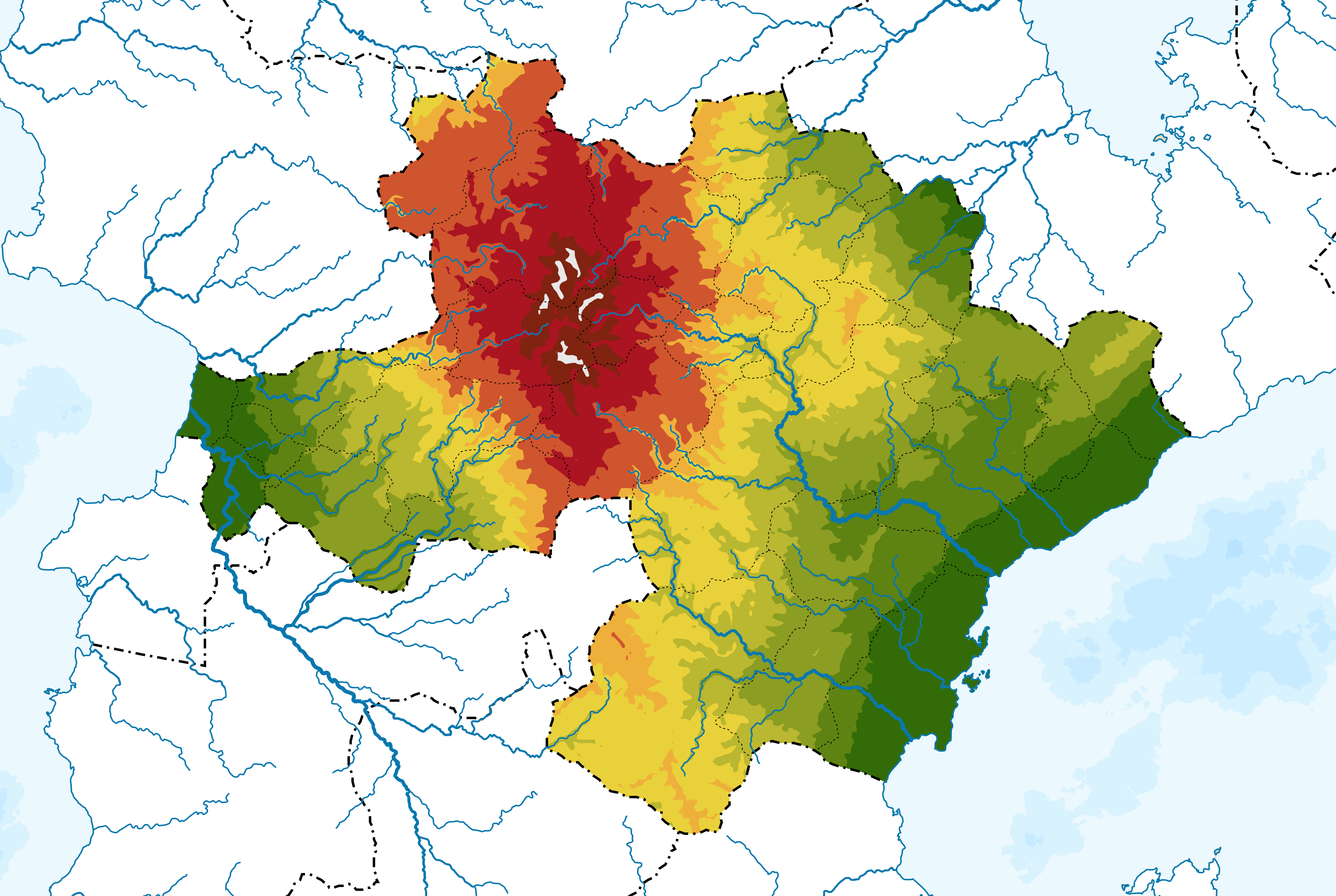
| 20:19, 5 October 2016 | Gandhara topography.png (file) |  |
1.89 MB | |
| 19:59, 5 October 2016 | Gandhara location map topo.png (file) |  |
10.3 MB | |
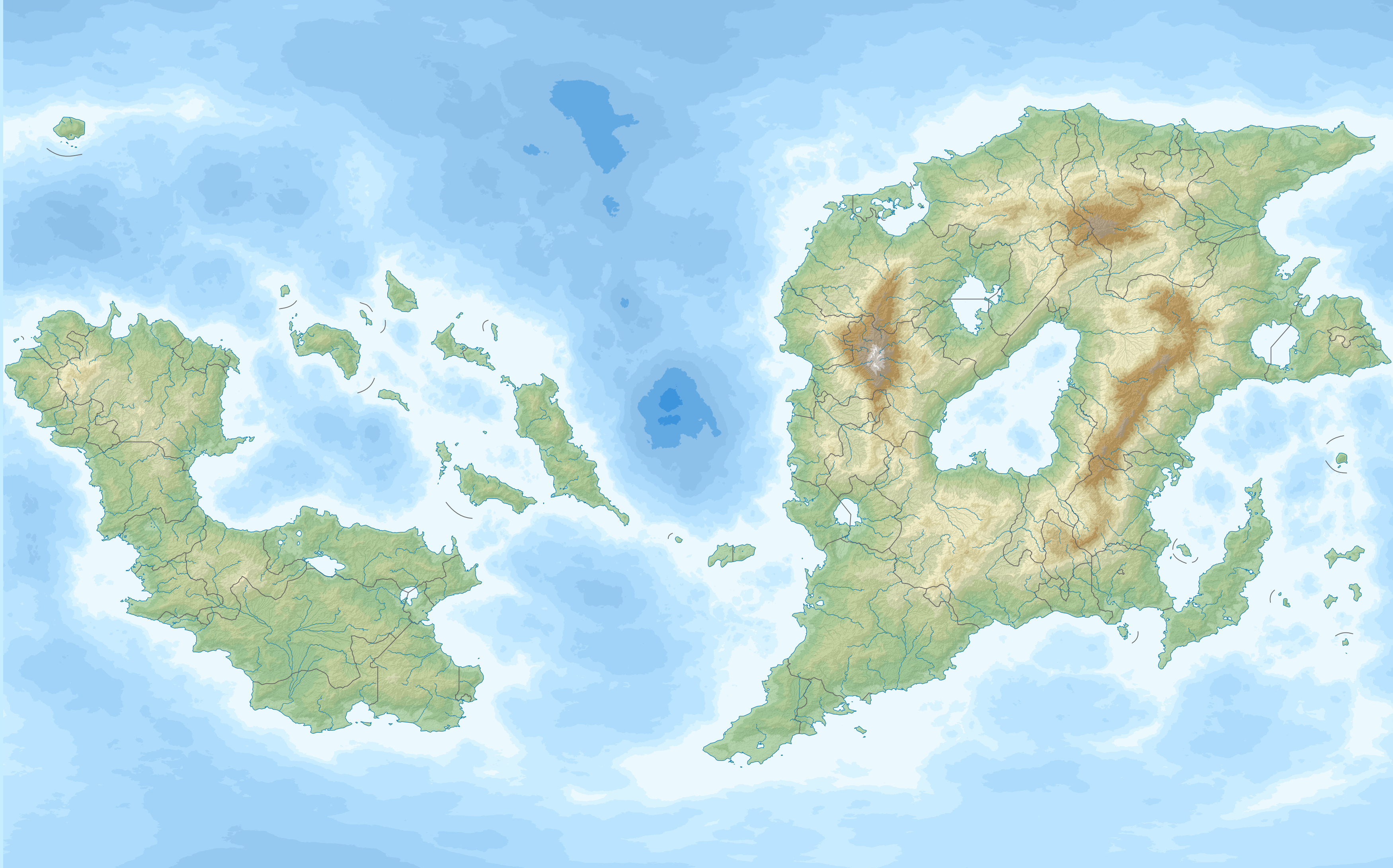
| 19:20, 28 August 2016 | Outernatia relief location.png (file) |  |
4.5 MB | |
| 19:03, 18 June 2016 | IFTA countries.png (file) |  |
276 KB | |
| 18:51, 18 June 2016 | Further Internatian Free Trade Association Enlargement.png (file) |  |
280 KB | |
| 18:52, 24 April 2016 | Administrative divisions of Laranjeiras.png (file) |  |
1.15 MB | |
| 10:45, 15 April 2016 | Kimmystan location map.png (file) |  |
1.14 MB | |
| 10:44, 15 April 2016 | Administrative divisions of Kimmystan.png (file) |  |
1.3 MB | |
| 00:54, 24 March 2016 | Tikata location map.png (file) |  |
1.46 MB | |
| 00:53, 24 March 2016 | Tikata relief.png (file) |  |
8.4 MB | |
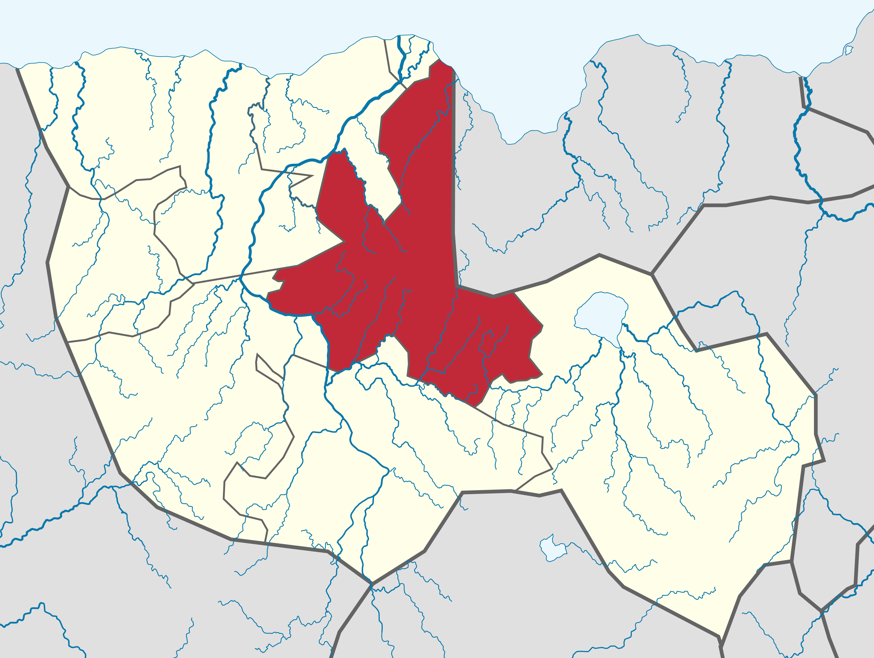
| 15:58, 16 March 2016 | Trumbia in Tikata map.png (file) |  |
1,006 KB | |
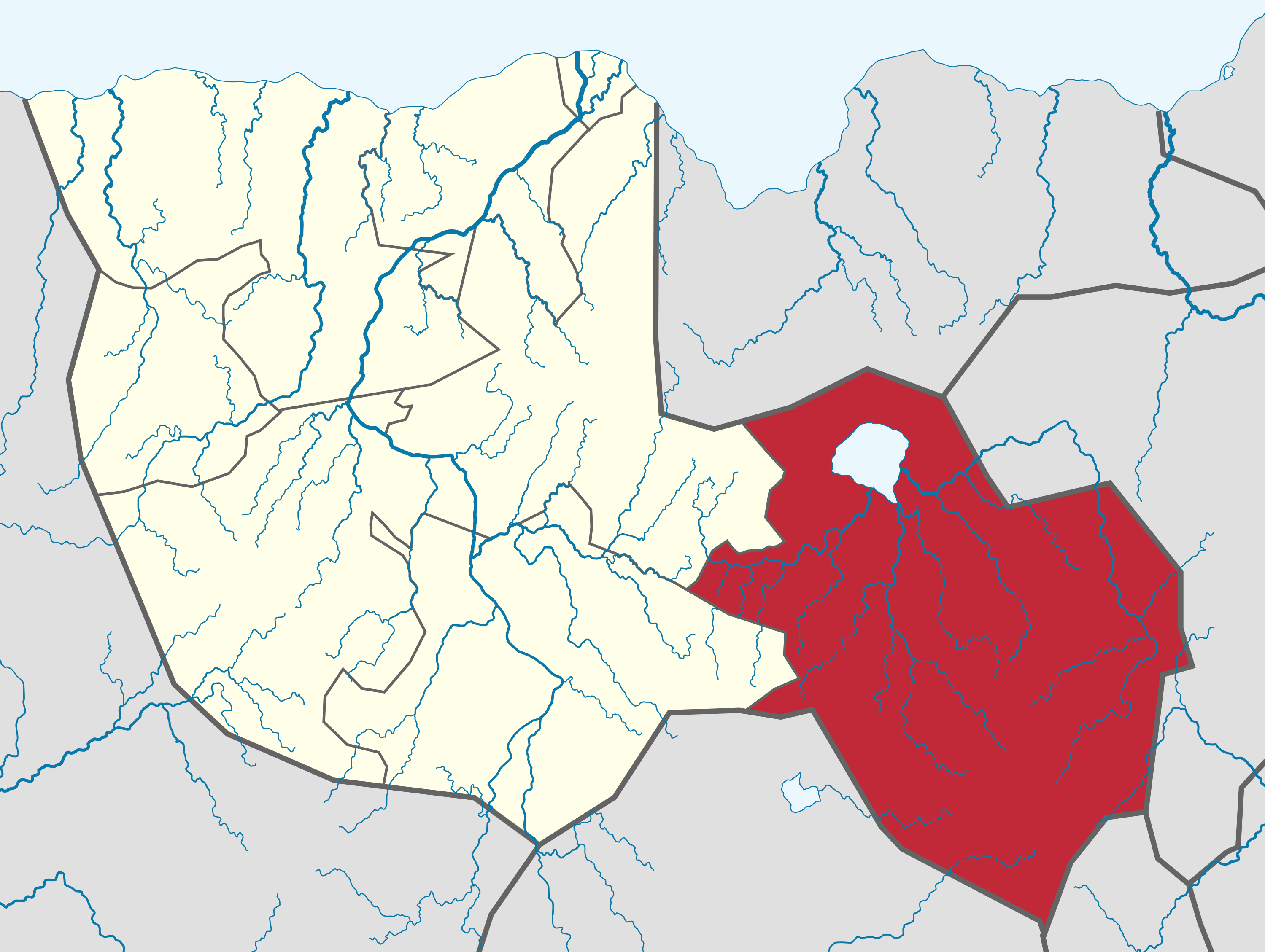
| 15:57, 16 March 2016 | Surmetia in Tikata map.png (file) |  |
1,005 KB | |
| 15:53, 16 March 2016 | Roberdio in Tikata map.png (file) |  |
1,004 KB | |
| 15:52, 16 March 2016 | Morsa in Tikata map.png (file) |  |
1,007 KB | |
| 15:51, 16 March 2016 | Medaria in Tikata map.png (file) |  |
1,007 KB | |
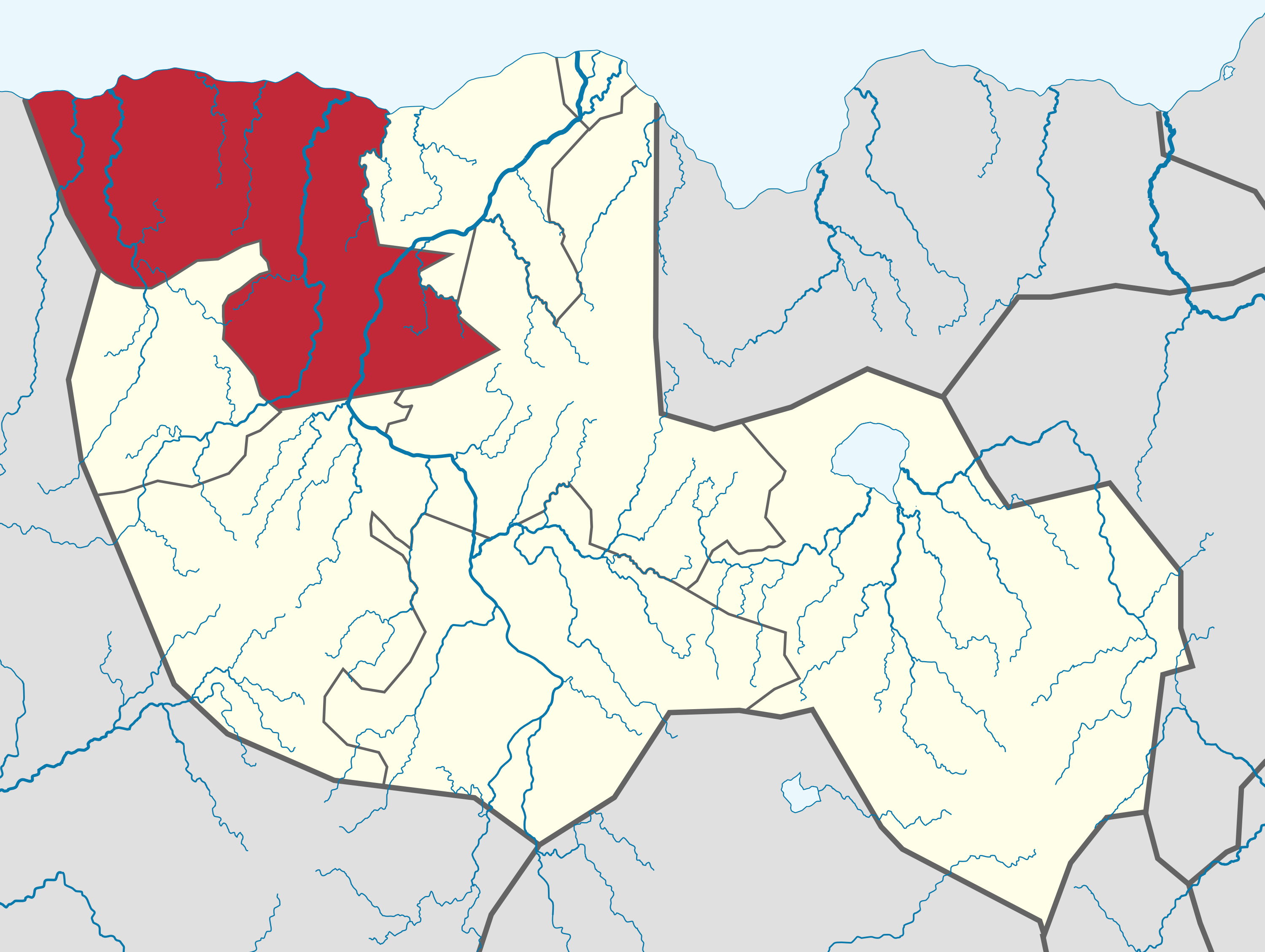
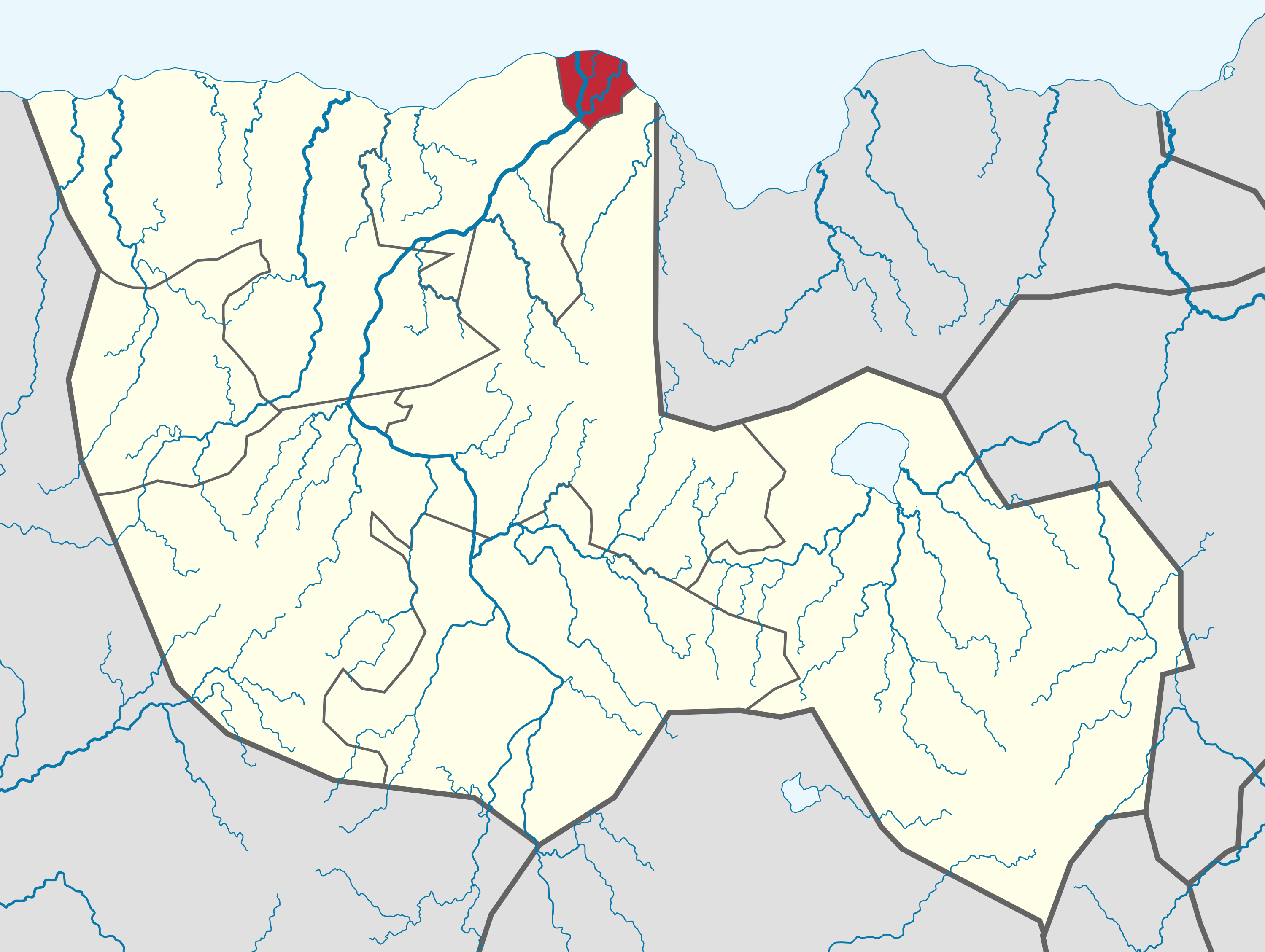
| 15:49, 16 March 2016 | Madakia state in Tikata map.png (file) |  |
1,003 KB | |
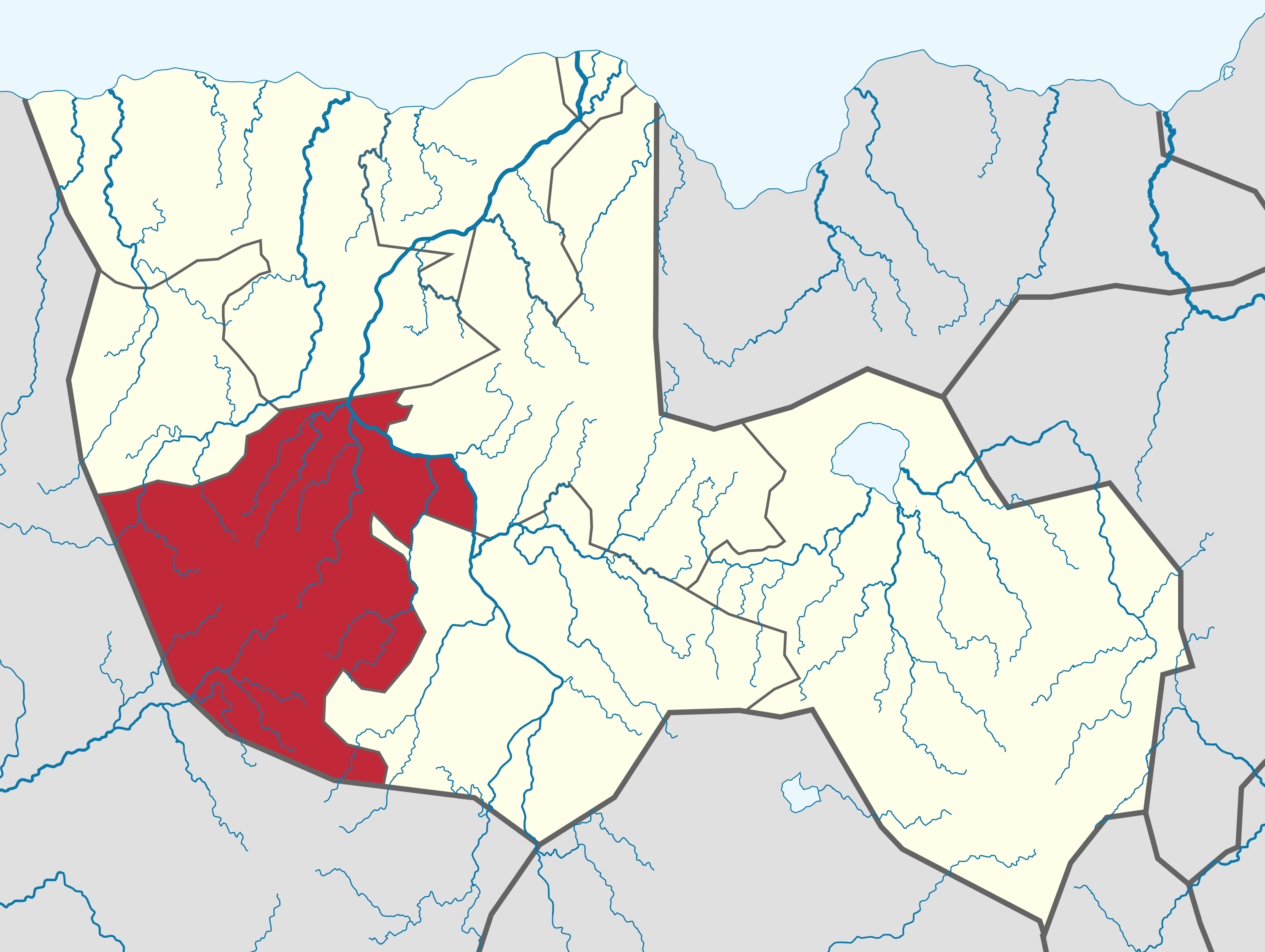
| 15:48, 16 March 2016 | Hulara in Tikata map.png (file) |  |
1,006 KB | |
| 15:45, 16 March 2016 | Xanita in Tikata map.png (file) |  |
1,004 KB | |
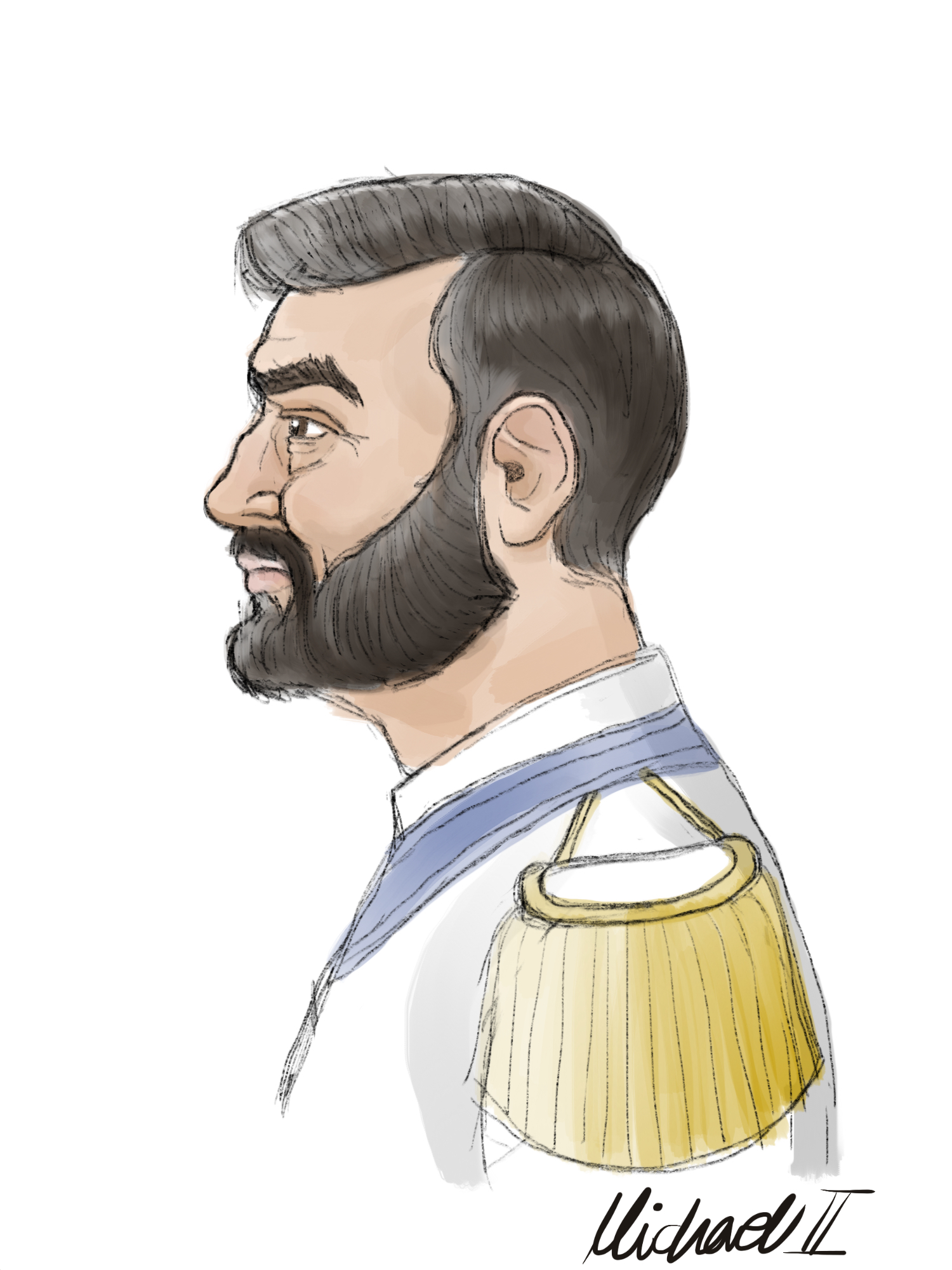
| 23:09, 7 March 2016 | Michael II.jpg (file) |  |
1,018 KB | |
| 21:35, 17 February 2016 | ISCC 26 Map.png (file) |  |
350 KB | |
| 23:09, 3 February 2016 | Flag of Bahrain.svg (file) |  |
325 bytes | |
| 23:06, 3 February 2016 | Flag of Djibouti.svg (file) |  |
3 KB | Reverted to version as of 23:05, 3 February 2016 |