File:Hamar from air.jpg
Jump to navigation
Jump to search
Size of this preview: 800 × 533 pixels. Other resolutions: 320 × 213 pixels | 640 × 427 pixels | 1,024 × 683 pixels | 1,280 × 853 pixels | 2,560 × 1,707 pixels | 3,888 × 2,592 pixels.
Original file (3,888 × 2,592 pixels, file size: 3.65 MB, MIME type: image/jpeg)
Summary
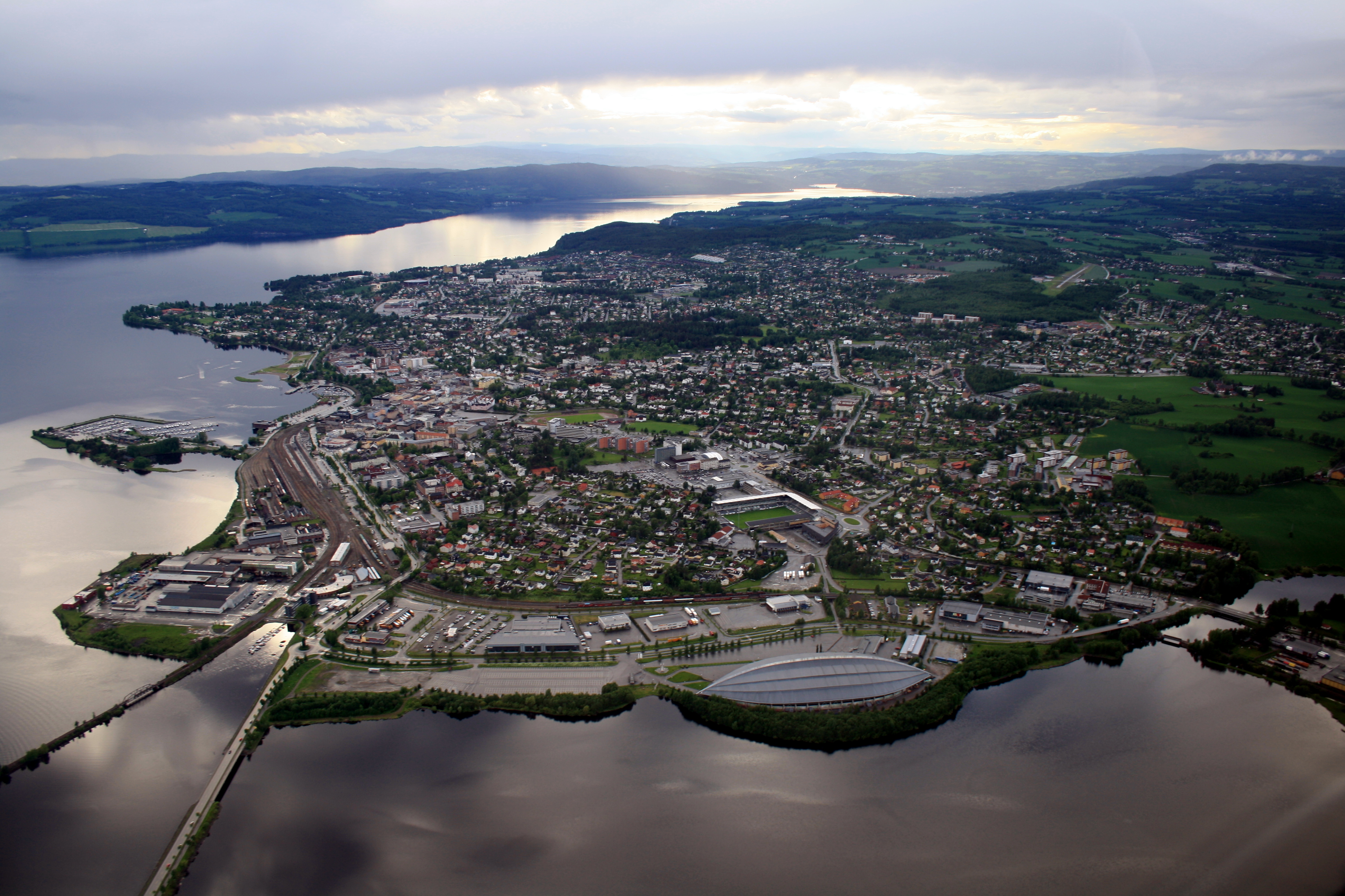
| Description | Hamar from air |
| Date | |
| Source | Hamar from air |
| Author | John Christian Fjellestad |
| Camera location | | View this and other nearby images on: OpenStreetMap |
|---|
Licensing
This file is licensed under the Creative Commons Attribution 3.0 Unported license.
- You are free:
- to share – to copy, distribute and transmit the work
- to remix – to adapt the work
- Under the following conditions:
- attribution – You must give appropriate credit, provide a link to the license, and indicate if changes were made. You may do so in any reasonable manner, but not in any way that suggests the licensor endorses you or your use.
| This image, which was originally posted to Panoramio, was reviewed on 14 September 2011 by the administrator or trusted user Warfieldian, who confirmed that it was available on Panoramio under the above license on that date. |
File history
Click on a date/time to view the file as it appeared at that time.
| Date/Time | Thumbnail | Dimensions | User | Comment | |
|---|---|---|---|---|---|
| current | 15:17, 13 September 2011 | | 3,888 × 2,592 (3.65 MB) | wikimediacommons>Torstein | {{Information |Description=Hamar from air |Source=[http://www.panoramio.com/photo/44007748 Hamar from air] |Date=2009-06-13 18:30 |Author=[http://www.panoramio.com/user/1824654 Jon Kristian Fjellestad] |Permission= |other_versions= }} {{Location dec|60.78 |
File usage
The following 2 pages use this file: