File:Tikata counties.png
Jump to navigation
Jump to search

Size of this preview: 746 × 600 pixels. Other resolutions: 2,547 × 2,048 pixels | 7,500 × 6,031 pixels.
Original file (7,500 × 6,031 pixels, file size: 770 KB, MIME type: image/png)
| Description |
Location map of the Tikata (with states and counties). |
|---|---|
| Source |
Own work |
| Date | |
| Author |
santos |
| Permission (Reusing this file) |
See below. |
| Other versions |
|


File history
Click on a date/time to view the file as it appeared at that time.
| Date/Time | Thumbnail | Dimensions | User | Comment | |
|---|---|---|---|---|---|
| current | 12:56, 7 January 2015 | | 7,500 × 6,031 (770 KB) | Santos (talk | contribs) | |
| 23:05, 15 June 2013 |  | 7,536 × 5,408 (1.29 MB) | Santos (talk | contribs) | Reverted to version as of 22:02, 7 June 2013 | |
| 22:06, 7 June 2013 |  | 3,768 × 2,704 (1.24 MB) | Santos (talk | contribs) | ||
| 22:06, 7 June 2013 |  | 4,522 × 3,245 (2.23 MB) | Santos (talk | contribs) | ||
| 22:02, 7 June 2013 | 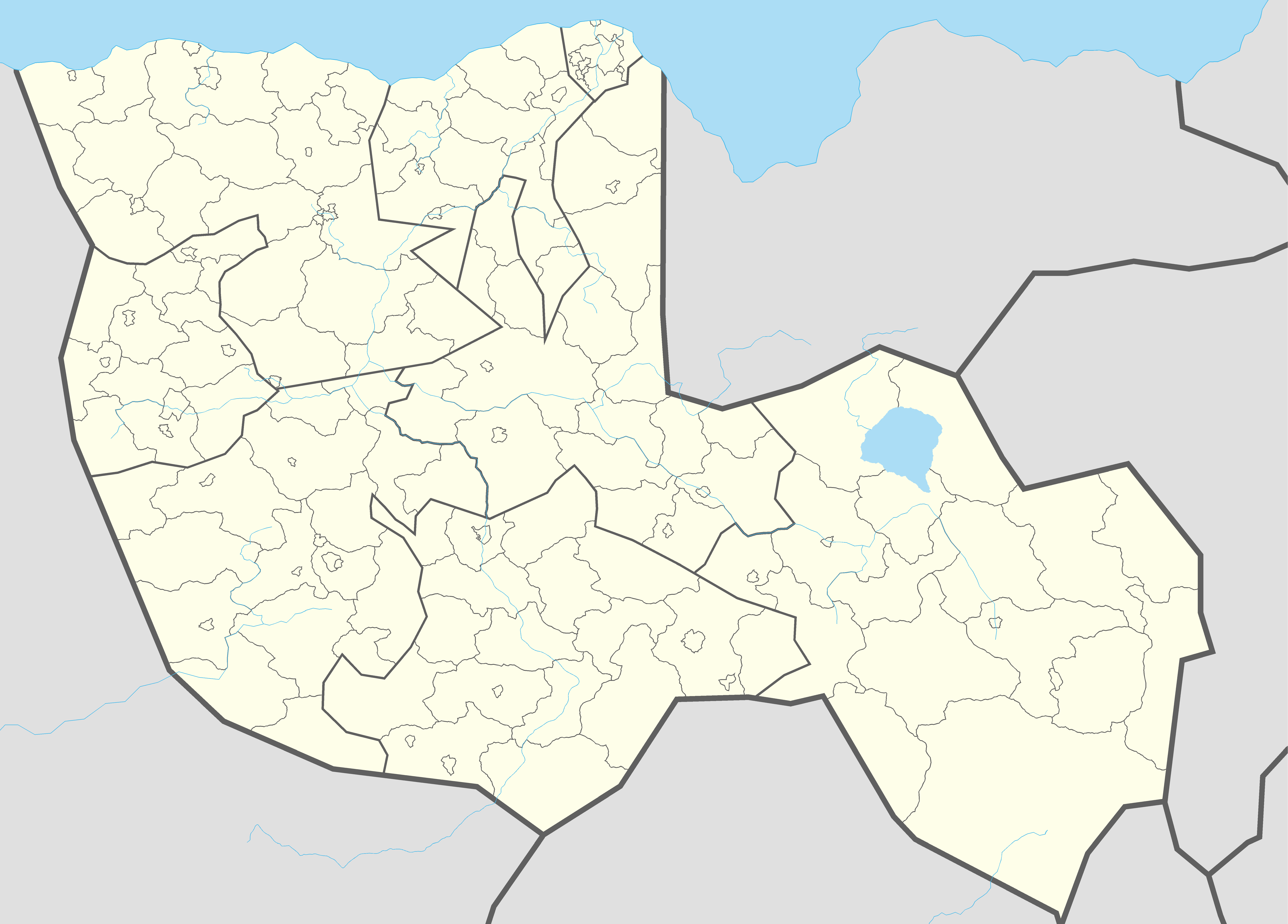 | 7,536 × 5,408 (1.29 MB) | Santos (talk | contribs) | ||
| 22:01, 7 June 2013 |  | 7,536 × 5,408 (1.29 MB) | Santos (talk | contribs) | ||
| 21:47, 7 June 2013 |  | 7,536 × 5,408 (1.29 MB) | Santos (talk | contribs) | ||
| 21:39, 7 June 2013 |  | 7,536 × 5,408 (1.29 MB) | Santos (talk | contribs) | ||
| 21:35, 7 June 2013 |  | 7,536 × 5,408 (1.29 MB) | Santos (talk | contribs) | ||
| 21:29, 7 June 2013 |  | 7,951 × 5,844 (1.39 MB) | Santos (talk | contribs) |
You cannot overwrite this file.
File usage
The following 3 pages use this file: