Tonallán: Difference between revisions
Jump to navigation
Jump to search
JoshCastle (talk | contribs) No edit summary |
No edit summary |
||
| Line 117: | Line 117: | ||
[[Category:Country]] | [[Category:Country]] | ||
[[Category:Tonallán]] | [[Category:Tonallán]] | ||
Latest revision as of 13:39, 9 October 2020
| Holy Empire of Tonallán Tonallán | |
|---|---|
 Flag | |
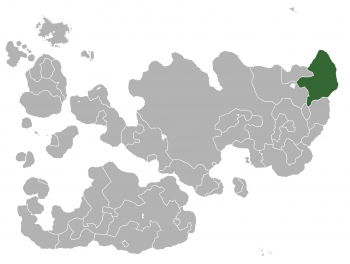
 Location of Tonallán in Internatia. | |
| Capital and largest city | Tlahuilco |
| Official languages | Spanish |
| Recognised national languages | Spanish and 10 indigenous languages including Nahuátl. |
| Demonym | Tonallaní |
| Government | |
• Empress Tonantzin | Sarita García |
| Area | |
• Total | 465,122 km2 (179,585 sq mi) |
| Population | |
• 2012 estimate | 24,665,211 |
• Density | 54.08/km2 (140.1/sq mi) |
| Time zone | FIT (UTC+3:00) |
| Date format | DD/MM/YY |
| Drives on the | left |
| Calling code | +72 |
| Internet TLD | .tn |
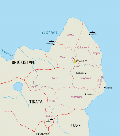
Tonallán, officially the Holy Empire of Tonallán, is a sovereign state in North-East Internatia. Its mainland is bordered to the West by Eriod and Tikata; to the South by Hanzyuki and Luzze. With an area of 465,122 square kilometers (179,585 sq mi), it is the sixth largest country in Internatia.

